
![]() Colerain Township was one of the five townships formed in 1767 by the Cumberland County Court within the region purchased from the Amerindians in the 1754 Albany Purchase. The region encompassed by Colerain Township in 1767 included the present-day Bedford County townships of Colerain, East Providence, Mann, Monroe, Snake Spring, Southampton and West Providence. A small portion of it extended into the region that is present-day Fulton County. Providence Township was formed out of the north third of Colerain in 1783. Providence Township was formed during the April sessions of the Court of Quarter Sessions of the Peace. The court record stated:
Colerain Township was one of the five townships formed in 1767 by the Cumberland County Court within the region purchased from the Amerindians in the 1754 Albany Purchase. The region encompassed by Colerain Township in 1767 included the present-day Bedford County townships of Colerain, East Providence, Mann, Monroe, Snake Spring, Southampton and West Providence. A small portion of it extended into the region that is present-day Fulton County. Providence Township was formed out of the north third of Colerain in 1783. Providence Township was formed during the April sessions of the Court of Quarter Sessions of the Peace. The court record stated:
![]() The Court divids Colerain Township in manner following viz beginning at -------- Narrows thence along the summit of Tusseys Mountain an so far as to be opposite to the Riges which divide the waters of Potomack from the waters of Juniata thence along the said Ridges to the Line of Bethel Township - & that the southerly part of the said Township shall retain the name of Colerain & the Northerly part thereof shall be & the Same is hereby erected into & called Providence Township.
The Court divids Colerain Township in manner following viz beginning at -------- Narrows thence along the summit of Tusseys Mountain an so far as to be opposite to the Riges which divide the waters of Potomack from the waters of Juniata thence along the said Ridges to the Line of Bethel Township - & that the southerly part of the said Township shall retain the name of Colerain & the Northerly part thereof shall be & the Same is hereby erected into & called Providence Township.
![]() Hopewell Township had been formed in 1773 but when Providence was formed ten years later, the boundary between the two must have been in doubt for some individuals. The sense that the boundary was not clearly delineated must have become too powerful to ignore because five years later it was re-established by the Court. During the April Sessions of 1788.
Hopewell Township had been formed in 1773 but when Providence was formed ten years later, the boundary between the two must have been in doubt for some individuals. The sense that the boundary was not clearly delineated must have become too powerful to ignore because five years later it was re-established by the Court. During the April Sessions of 1788.
![]() The line between Hopewell and Providence Township to begin at Tussey Mountain at the head of Johns Branch, right with the Gap of Warry Ridge where said Branch runs through, thence to the Mouth of said Branch, and a cross the Racetown Branch to Millers Knob, thence along said Knob or Ridge with a Direct course to the head of Wells Vally and to join Dublin Township where it formerly did.
The line between Hopewell and Providence Township to begin at Tussey Mountain at the head of Johns Branch, right with the Gap of Warry Ridge where said Branch runs through, thence to the Mouth of said Branch, and a cross the Racetown Branch to Millers Knob, thence along said Knob or Ridge with a Direct course to the head of Wells Vally and to join Dublin Township where it formerly did.
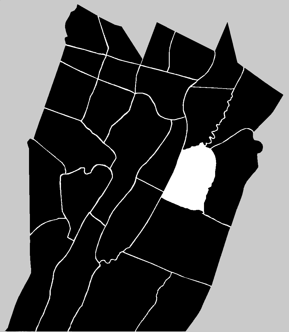
![]() Sixty-one years after its formation, Providence Township was divided in two parts: East and West, by a north-south line. The line was arbitrarily surveyed at the north, and then followed the course of Shaffer (variously, Sheaver) Creek. At a Court of General Quarter Sessions of the Peace held at Bedford on 01 December 1843 the following petition was submitted by 'sundry inhabitants.'
Sixty-one years after its formation, Providence Township was divided in two parts: East and West, by a north-south line. The line was arbitrarily surveyed at the north, and then followed the course of Shaffer (variously, Sheaver) Creek. At a Court of General Quarter Sessions of the Peace held at Bedford on 01 December 1843 the following petition was submitted by 'sundry inhabitants.'
![]() Upon the Petition of Sundry Inhabitants of the Township of Providence in said County being read setting forth that They labor under many difficulties and suffer much inconvenience in consequence of the extreme length and unusual size of said township; and that said inconvenience has been increased by the Division of the township into two Election Districts. They therefore pray that a division of said township may be had, according to the following lines and courses, viz Beginning where the Monroe township line crosses Shaffers Creek, thence down said Creek, to where it unites with Brush Creek, thence down Brush Creek to its (illegible) with the Juniatta River, thence down the same a (illegible) distance to include Jacob Weaverlings M(illegible) and from thence a straight line, running North West, to the top of French's Knob, and that part lying on the East of said Division to be called East Providence and that part on the West of the same West Providence. Whereupon the Court on due consideration do order and appoint James Piper Esqr, Abraham Weisel Esqr & John S. Richey Esqr to be commissioners to view and examine the lines and boundaries for the division of said township prayed for and to consider the propriety of a division of said township, as aforesaid, who are to make Report of their proceedings (together with a plot or Draft thereof) to the next Court of Quarter Sessions of the Peace according to Law. By the Court Jos B. Noble Clerk
Upon the Petition of Sundry Inhabitants of the Township of Providence in said County being read setting forth that They labor under many difficulties and suffer much inconvenience in consequence of the extreme length and unusual size of said township; and that said inconvenience has been increased by the Division of the township into two Election Districts. They therefore pray that a division of said township may be had, according to the following lines and courses, viz Beginning where the Monroe township line crosses Shaffers Creek, thence down said Creek, to where it unites with Brush Creek, thence down Brush Creek to its (illegible) with the Juniatta River, thence down the same a (illegible) distance to include Jacob Weaverlings M(illegible) and from thence a straight line, running North West, to the top of French's Knob, and that part lying on the East of said Division to be called East Providence and that part on the West of the same West Providence. Whereupon the Court on due consideration do order and appoint James Piper Esqr, Abraham Weisel Esqr & John S. Richey Esqr to be commissioners to view and examine the lines and boundaries for the division of said township prayed for and to consider the propriety of a division of said township, as aforesaid, who are to make Report of their proceedings (together with a plot or Draft thereof) to the next Court of Quarter Sessions of the Peace according to Law. By the Court Jos B. Noble Clerk
![]() The source of the name Providence for the township in 1783 is not known. It is possible, though not proven, that it referred to the end of the American Revolutionary War, and the deliverance from the horrors of war by Providence.
The source of the name Providence for the township in 1783 is not known. It is possible, though not proven, that it referred to the end of the American Revolutionary War, and the deliverance from the horrors of war by Providence.