
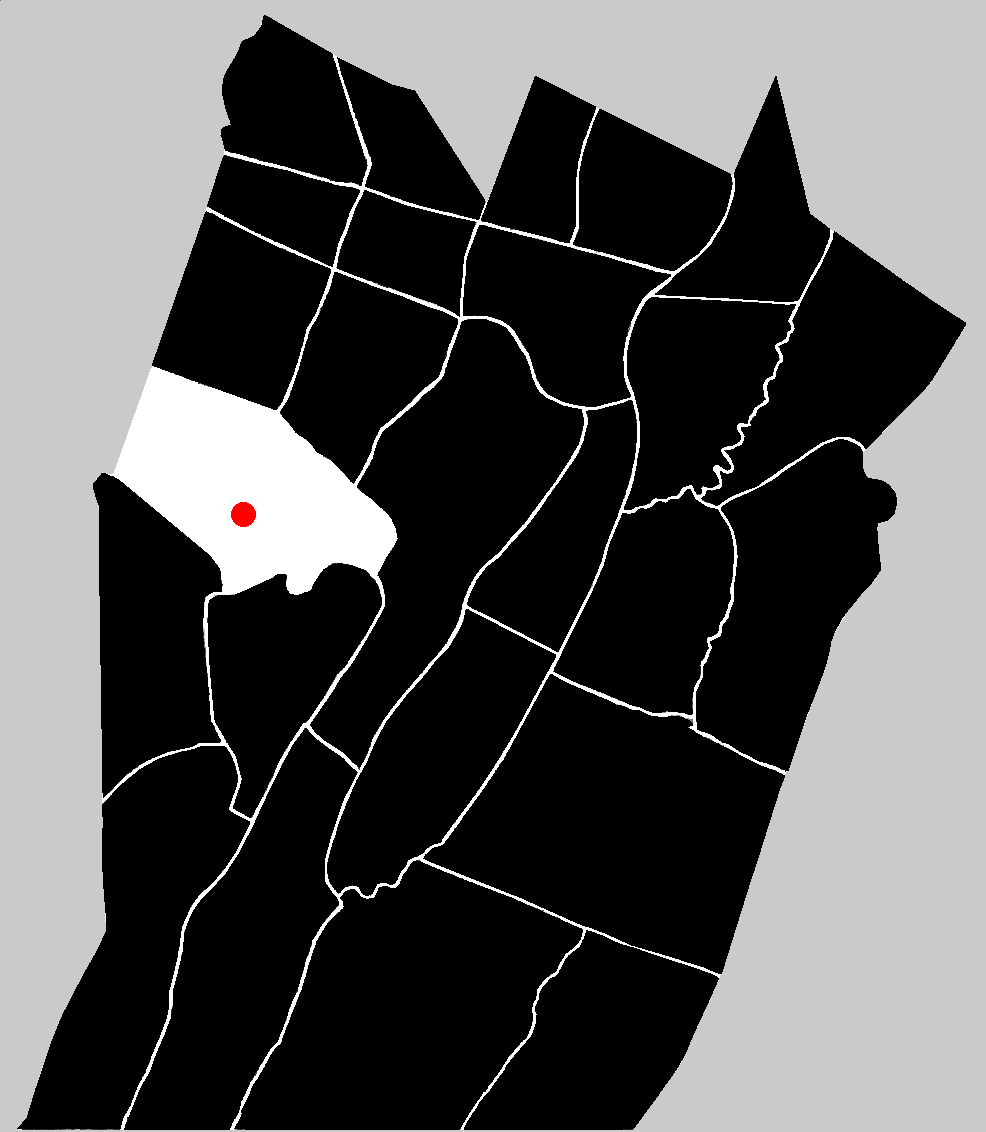
![]() According to popular tradition the surveyor, James Anderson, came to the area just southeast of the center of the present-day Napier township, and the southern end of Chestnut Ridge, at some time in the latter years of the 1700s. Although the exact date is not known, he is believed to have located there prior to the year 1800. Anderson constructed a log house along the south side of the old Great Road to Pittsburgh (previously known as the Forbes Road) about nine miles west of Bedford.
According to popular tradition the surveyor, James Anderson, came to the area just southeast of the center of the present-day Napier township, and the southern end of Chestnut Ridge, at some time in the latter years of the 1700s. Although the exact date is not known, he is believed to have located there prior to the year 1800. Anderson constructed a log house along the south side of the old Great Road to Pittsburgh (previously known as the Forbes Road) about nine miles west of Bedford.
![]() According to that same popular tradition, in the first decade of the 1800s, the town of Schellsburg was laid out to the east of Anderson's homestead. The History of Bedford, Somerset and Fulton Counties gave the date as 1810. The Internet website, Schellsburg and Old Log Church Historic Society gives the exact date of 09 November 1808. The town's namesake was John Schell, Jr. He was born in 1754 in eastern Pennsylvania and moved with his wife, Elizabeth Barbara (Hillegass) and eight children from the German community of Goschenhoppen in the Perkiomen Valley region of Montgomery County to Bedford County. It is claimed that after serving in the American Revolutionary War, John Schell traveled through Bedford County on numerous business trips into the frontier region that would become the state of Kentucky in 1792. According to the popular tradition, during the spring of 1800, the Schell family was headed to establish a home in Kentucky, but upon reaching Pittsburgh, and finding that the Amerindian threat was too great to permit safe travel, the family headed back east. They decided to stop in Bedford County and make their home here.
According to that same popular tradition, in the first decade of the 1800s, the town of Schellsburg was laid out to the east of Anderson's homestead. The History of Bedford, Somerset and Fulton Counties gave the date as 1810. The Internet website, Schellsburg and Old Log Church Historic Society gives the exact date of 09 November 1808. The town's namesake was John Schell, Jr. He was born in 1754 in eastern Pennsylvania and moved with his wife, Elizabeth Barbara (Hillegass) and eight children from the German community of Goschenhoppen in the Perkiomen Valley region of Montgomery County to Bedford County. It is claimed that after serving in the American Revolutionary War, John Schell traveled through Bedford County on numerous business trips into the frontier region that would become the state of Kentucky in 1792. According to the popular tradition, during the spring of 1800, the Schell family was headed to establish a home in Kentucky, but upon reaching Pittsburgh, and finding that the Amerindian threat was too great to permit safe travel, the family headed back east. They decided to stop in Bedford County and make their home here.
![]() Again, according to the popular tradition created by early historians, on 01 May 1800, John Schell supposedly purchased a tract of 260 acres from John Anderson bearing the name 'Nine-Mile Town' a short distance to the west of the Shawnee Cabins. The name given to the tract of land was no doubt intended to note that it was located nine miles west of the town of Bedford. The tract had originally been warranted and immediately patented on 12 February 1776 by James Anderson. On 01 June 1801 Schell purchased another tract of land adjoining the first tract. The second tract was named 'Pekin.' The combined properties totaled over 1,500 acres and provided Schell with enough room to lay out a nice sized town.
Again, according to the popular tradition created by early historians, on 01 May 1800, John Schell supposedly purchased a tract of 260 acres from John Anderson bearing the name 'Nine-Mile Town' a short distance to the west of the Shawnee Cabins. The name given to the tract of land was no doubt intended to note that it was located nine miles west of the town of Bedford. The tract had originally been warranted and immediately patented on 12 February 1776 by James Anderson. On 01 June 1801 Schell purchased another tract of land adjoining the first tract. The second tract was named 'Pekin.' The combined properties totaled over 1,500 acres and provided Schell with enough room to lay out a nice sized town.
![]() What the public records reveal is close to but not exactly the same as the tradition.
What the public records reveal is close to but not exactly the same as the tradition.
![]() On 12 February 1776, James Anderson obtained a warrant for a tract of 260 acres "situate on the waters of Shawonee Cabbin Creek on both sides of the road leading from Bedford to Pittsburg in Bedford township (now Napier) in the County of Bedford . . ." Mr. Anderson patented the tract on the next day, 13 February 1776. The tract had already been surveyed on the 8th of February 1775 for William Peebles in pursuance of a warrant that Peebles supposedly obtained on 23 August 1766. No warrant was recorded for Peebles though. The survey for the tract, while noting that it was surveyed per the warrant for William Peebles, was labeled: 'Retd 12th Feby 1776 for James Anderson.' It would seem to be apparent that William Peebles had intended to warrant and patent the tract in 1766 but never got around to actually having it surveyed and completing the process. When, in February of 1776, James Anderson filed for a warrant for the same tract, since Peebles had not followed through on his warrant, the survey may have simply been transferred to Anderson. That would explain how the warrant and patent could be dated in consecutive days.
On 12 February 1776, James Anderson obtained a warrant for a tract of 260 acres "situate on the waters of Shawonee Cabbin Creek on both sides of the road leading from Bedford to Pittsburg in Bedford township (now Napier) in the County of Bedford . . ." Mr. Anderson patented the tract on the next day, 13 February 1776. The tract had already been surveyed on the 8th of February 1775 for William Peebles in pursuance of a warrant that Peebles supposedly obtained on 23 August 1766. No warrant was recorded for Peebles though. The survey for the tract, while noting that it was surveyed per the warrant for William Peebles, was labeled: 'Retd 12th Feby 1776 for James Anderson.' It would seem to be apparent that William Peebles had intended to warrant and patent the tract in 1766 but never got around to actually having it surveyed and completing the process. When, in February of 1776, James Anderson filed for a warrant for the same tract, since Peebles had not followed through on his warrant, the survey may have simply been transferred to Anderson. That would explain how the warrant and patent could be dated in consecutive days.
![]() The detailed history of the various tracts of land that eventually became the property of John Schell is presented in a deed between Abraham Schell and George Colvin dated 27 December 1834.
The detailed history of the various tracts of land that eventually became the property of John Schell is presented in a deed between Abraham Schell and George Colvin dated 27 December 1834.
![]() After James Anderson warranted and patented the tract of 260 acres, named the Nine Mile Tavern tract on 13 February 1776 he completed a second patent thirteen years later on 17 June 1789 of 240 acres. Warranted on 16 January 1789, the second tract, named the Piken tract was located "on the east side of Chestnut ridge and on both sides of the road aforesaid township and County aforesaid adjoining the first above mentioned tract of land . . ." Another man, John Graham, patented a tract of land in the vicinity of Anderson. Originally warranted by Thomas Hays on 04 November 1766, the tract of 170 acres was named The Push. This tract was located "on the Shawonee Cabbin Creek." A fourth tract in the vicinity, named Mount Vernon, and consisting of 333 acres, had been warranted by four individuals: Thomas Fleming on 08 June 1762, William Thompson on 10 September 1762, Reverend John Steel on 23 February 1763 and James Anderson Jr on 02 December 1788. The tract was ultimately patented by James Anderson on 30 May 1803. Each of the four tracts of lands eventually made their way into the hands of John Schell.
After James Anderson warranted and patented the tract of 260 acres, named the Nine Mile Tavern tract on 13 February 1776 he completed a second patent thirteen years later on 17 June 1789 of 240 acres. Warranted on 16 January 1789, the second tract, named the Piken tract was located "on the east side of Chestnut ridge and on both sides of the road aforesaid township and County aforesaid adjoining the first above mentioned tract of land . . ." Another man, John Graham, patented a tract of land in the vicinity of Anderson. Originally warranted by Thomas Hays on 04 November 1766, the tract of 170 acres was named The Push. This tract was located "on the Shawonee Cabbin Creek." A fourth tract in the vicinity, named Mount Vernon, and consisting of 333 acres, had been warranted by four individuals: Thomas Fleming on 08 June 1762, William Thompson on 10 September 1762, Reverend John Steel on 23 February 1763 and James Anderson Jr on 02 December 1788. The tract was ultimately patented by James Anderson on 30 May 1803. Each of the four tracts of lands eventually made their way into the hands of John Schell.
![]() The first tract, Nine Mile Tavern, was sold by James and Elizabeth Anderson to David Espy and William Todd (as tenants in common) on 12 March 1793. David and Jane Espy and William and Hannah Todd sold the tract a month later, on 17 April 1793, to Robert Means. Robert and Rachel Means sold the tract on 06 May 1797 to Samuel Davidson and John Anderson.
The first tract, Nine Mile Tavern, was sold by James and Elizabeth Anderson to David Espy and William Todd (as tenants in common) on 12 March 1793. David and Jane Espy and William and Hannah Todd sold the tract a month later, on 17 April 1793, to Robert Means. Robert and Rachel Means sold the tract on 06 May 1797 to Samuel Davidson and John Anderson.
![]() The second tract, Piken, was sold by James and Elizabeth Anderson on 05 December 1797 to Samuel Davidson and John Anderson (as tenants in common). In 1801 the two tracts were sold to John Schell. Samuel and Margarette Davidson and John Anderson sold the two tracts to John Schell on 01 June 1801.
The second tract, Piken, was sold by James and Elizabeth Anderson on 05 December 1797 to Samuel Davidson and John Anderson (as tenants in common). In 1801 the two tracts were sold to John Schell. Samuel and Margarette Davidson and John Anderson sold the two tracts to John Schell on 01 June 1801.
![]() The third tract, named The Push and patented by John Graham, was bequeathed to his sons, John and George Graham when he died. His will was dated 16 December 1799. The sons held onto the tract for roughly seven years, finally selling it to John Schell on 02 February 1806.
The third tract, named The Push and patented by John Graham, was bequeathed to his sons, John and George Graham when he died. His will was dated 16 December 1799. The sons held onto the tract for roughly seven years, finally selling it to John Schell on 02 February 1806.
![]() A portion of the fourth tract, named Mount Vernon, consisting of 22 acres at the north end of the tract, was sold by James Anderson Jr to John Schell on 16 December 1803.
A portion of the fourth tract, named Mount Vernon, consisting of 22 acres at the north end of the tract, was sold by James Anderson Jr to John Schell on 16 December 1803.
![]() A current blog website, Exploring Off the Beaten Path provides its readers with the statement in regard to John Schell: "He had received some land as a grant for his service in the Revolutionary War and added on to it with his own purchases." That statement is incorrect. No land within present-day Bedford County was ever granted to any American Revolutionary War soldier. The so-called 'Donation Lands' were located in the northwest corner of the state in the lands purchased from the Amerindians in 1784.
A current blog website, Exploring Off the Beaten Path provides its readers with the statement in regard to John Schell: "He had received some land as a grant for his service in the Revolutionary War and added on to it with his own purchases." That statement is incorrect. No land within present-day Bedford County was ever granted to any American Revolutionary War soldier. The so-called 'Donation Lands' were located in the northwest corner of the state in the lands purchased from the Amerindians in 1784.
![]() John Schell built a grist mill in the vicinity soon after establishing his home in this region after 1801. Henry Schell constructed a fulling-mill. The town was surveyed and laid out on 09 November 1808.
John Schell built a grist mill in the vicinity soon after establishing his home in this region after 1801. Henry Schell constructed a fulling-mill. The town was surveyed and laid out on 09 November 1808.
![]() On 19 March 1838, Schellsburg became the second town in Bedford County (after Bedford itself) to be incorporated into a borough.
On 19 March 1838, Schellsburg became the second town in Bedford County (after Bedford itself) to be incorporated into a borough.