
![]() Bedford Township was formed in 1767 within Cumberland County. Then, in 1775, Frankstown Township was formed out of the northern third of Bedford Township, along with a portion of Barre Township. In 1785, Woodberry Township was formed out of the southern part of Frankstown Township along with an additional small portion of Bedford Township.
Bedford Township was formed in 1767 within Cumberland County. Then, in 1775, Frankstown Township was formed out of the northern third of Bedford Township, along with a portion of Barre Township. In 1785, Woodberry Township was formed out of the southern part of Frankstown Township along with an additional small portion of Bedford Township.
![]() In 1794, St. Clair Township was formed from a portion of Bedford Township; it was located adjacent to the western half of Woodberry and bordered along that township's southern boundary. In 1798, that western part of Woodberry Township (lying to the west of Dunnings Mountain range, between it and the Allegheny Mountain range) was separated to be formed into Greenfield Township.
In 1794, St. Clair Township was formed from a portion of Bedford Township; it was located adjacent to the western half of Woodberry and bordered along that township's southern boundary. In 1798, that western part of Woodberry Township (lying to the west of Dunnings Mountain range, between it and the Allegheny Mountain range) was separated to be formed into Greenfield Township.
![]() Thirty-six years after the formation of Greenfield Township, and forty after St. Clair Township was formed, Greenfield was divided in two along an east-west line and St. Clair was divided similarly in two along an east-west line although, in both cases, the two halves were not the same size. The southern third of Greenfield and the northern quarter of St. Clair were combined into a new township that was named: Union. In 1846, when Blair County was erected out of Huntingdon and Bedford, the remaining two-thirds of Greenfield were absorbed into the new county. The entire region that had been formed as Union remained under the jurisdiction of Bedford County.
Thirty-six years after the formation of Greenfield Township, and forty after St. Clair Township was formed, Greenfield was divided in two along an east-west line and St. Clair was divided similarly in two along an east-west line although, in both cases, the two halves were not the same size. The southern third of Greenfield and the northern quarter of St. Clair were combined into a new township that was named: Union. In 1846, when Blair County was erected out of Huntingdon and Bedford, the remaining two-thirds of Greenfield were absorbed into the new county. The entire region that had been formed as Union remained under the jurisdiction of Bedford County.
![]() In 1812, St. Clair Township was again divided into two parts, the southern two-thirds being formed into a new township: Napier. The northern third of St. Clair remained as a single township until 1875. In that year, the remaining St. Clair Township was divided into two approximately equal sized parts by a north-south line that followed along the summit of Chestnut Ridge. Both new townships retained the name of St. Clair, simply adding the word East to the one and West to the other.
In 1812, St. Clair Township was again divided into two parts, the southern two-thirds being formed into a new township: Napier. The northern third of St. Clair remained as a single township until 1875. In that year, the remaining St. Clair Township was divided into two approximately equal sized parts by a north-south line that followed along the summit of Chestnut Ridge. Both new townships retained the name of St. Clair, simply adding the word East to the one and West to the other.
![]() Union Township would undergo its first division in 1876. Divided into two unequally sized parts, the western half retained the name, while the eastern half was given the name: King Township. Kimmel Township was formed out of the northern half of King and a portion of Union in 1889. And finally, in 1899, the last township to be formed within Bedford County came into existence with the formation of Lincoln Township out of Union.
Union Township would undergo its first division in 1876. Divided into two unequally sized parts, the western half retained the name, while the eastern half was given the name: King Township. Kimmel Township was formed out of the northern half of King and a portion of Union in 1889. And finally, in 1899, the last township to be formed within Bedford County came into existence with the formation of Lincoln Township out of Union.
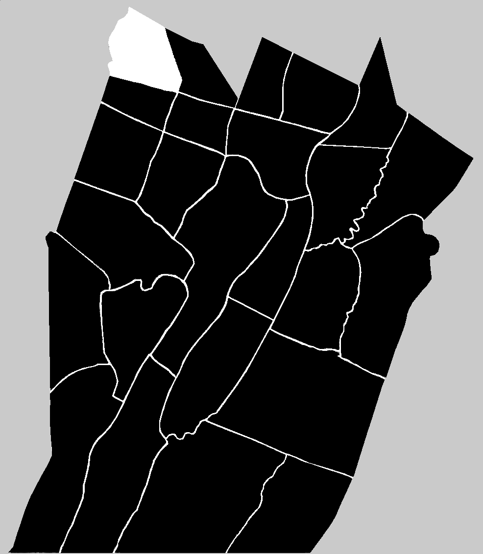
![]() Pavia Township was formed in the year 1834 out of Greenfield Township and a small portion of St. Clair Township. At the time that it was formed, the new township was named Union. In 1995 the name was changed to Pavia Township.
Pavia Township was formed in the year 1834 out of Greenfield Township and a small portion of St. Clair Township. At the time that it was formed, the new township was named Union. In 1995 the name was changed to Pavia Township.
![]() The name Pavia was noted in the 1884 "History of Bedford, Somerset and Fulton Counties" as being derived from the name of "the first town on a stream flowing from the mountains of Switzerland; hence the name is appropriate here, for the little village of Pavia is on a stream which takes its rise in 'Schweitz'." That is a charming description, but unfortunately it was a bit wrong geographically. The European town of Pavia is located in Italy, not Switzerland. It lies in a 'comune' or township-like division in the south-western part of Lombardy in the Italian Alps. It is correct that a waterway, the Ticino River, flows near the town of Pavia, Italy, but although the river does not actually flow within the territorial bounds of Switzerland, its watershed includes the Ticino Canton of Switzerland. The reference to the 'Schweitz' (pronounced: shvites) in the 1884 description comes from the folklore that when the first settlers moved into the region they were Swiss-Germans who felt that the landscape reminded them of their homes in Switzerland. The first village that developed along the headwaters of Bobbs Creek, originally named Marietta, eventually acquired the name, like its European sister: Pavia.
The name Pavia was noted in the 1884 "History of Bedford, Somerset and Fulton Counties" as being derived from the name of "the first town on a stream flowing from the mountains of Switzerland; hence the name is appropriate here, for the little village of Pavia is on a stream which takes its rise in 'Schweitz'." That is a charming description, but unfortunately it was a bit wrong geographically. The European town of Pavia is located in Italy, not Switzerland. It lies in a 'comune' or township-like division in the south-western part of Lombardy in the Italian Alps. It is correct that a waterway, the Ticino River, flows near the town of Pavia, Italy, but although the river does not actually flow within the territorial bounds of Switzerland, its watershed includes the Ticino Canton of Switzerland. The reference to the 'Schweitz' (pronounced: shvites) in the 1884 description comes from the folklore that when the first settlers moved into the region they were Swiss-Germans who felt that the landscape reminded them of their homes in Switzerland. The first village that developed along the headwaters of Bobbs Creek, originally named Marietta, eventually acquired the name, like its European sister: Pavia.