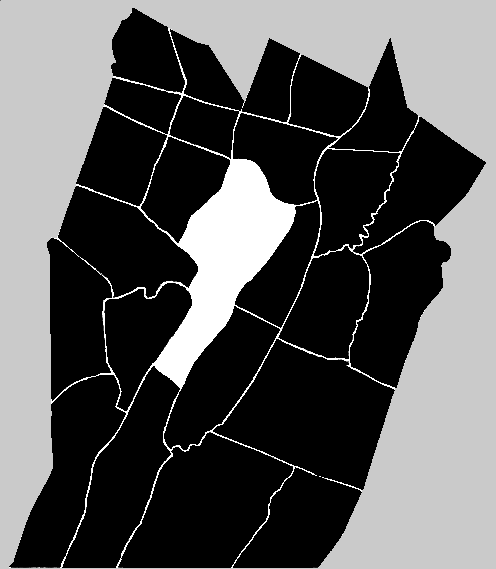


![]() Bedford Township was formed on the 20th of October, 1767 within Cumberland County. It was one of five original townships formed within Cumberland County, from which the present-day county of Bedford emerged. Bedford Township was, along with Barre, Colerain, Cumberland and Dublin, one of the first townships carved out of the territory obtained in the Albany Purchase of 1754.
Bedford Township was formed on the 20th of October, 1767 within Cumberland County. It was one of five original townships formed within Cumberland County, from which the present-day county of Bedford emerged. Bedford Township was, along with Barre, Colerain, Cumberland and Dublin, one of the first townships carved out of the territory obtained in the Albany Purchase of 1754.
![]() The Court of General Quarter Sessions of the Peace and Gaol Delivery for October 1767 recorded the following as part of its business:
The Court of General Quarter Sessions of the Peace and Gaol Delivery for October 1767 recorded the following as part of its business:
![]() Bounded by the above Mentioned East Line and Dunnings Mountain to the Gap of Morrisons Cove & from thence to the Top of Tussee's Mountain Joining Barre Township so as to include Morrisons Cove & from the End of Morrisons Cove Cross by Frankstown to the Allegeny John Cochran Constable
Bounded by the above Mentioned East Line and Dunnings Mountain to the Gap of Morrisons Cove & from thence to the Top of Tussee's Mountain Joining Barre Township so as to include Morrisons Cove & from the End of Morrisons Cove Cross by Frankstown to the Allegeny John Cochran Constable
![]() Out of the region that was established as Bedford Township in 1767 would come the present-day Bedford County townships of Bloomfield, South Woodbury, Kimmel, King, Pavia, Lincoln, East St. Clair, West St. Clair, Napier, Juniata and Harrison ~ in addition, of course to the region that has remained to the present-day as Bedford Township.
Out of the region that was established as Bedford Township in 1767 would come the present-day Bedford County townships of Bloomfield, South Woodbury, Kimmel, King, Pavia, Lincoln, East St. Clair, West St. Clair, Napier, Juniata and Harrison ~ in addition, of course to the region that has remained to the present-day as Bedford Township.
![]() At the time of its formation, Bedford Township also encompassed the region now occupied by the Blair County townships of Greenfield, Juniata, Freedom, Taylor, Huston, North Woodbury and Woodbury. They were part of the northern third of Bedford Township which was formed, in 1775 (along with a portion of Barre Township), into Frankstown Township.
At the time of its formation, Bedford Township also encompassed the region now occupied by the Blair County townships of Greenfield, Juniata, Freedom, Taylor, Huston, North Woodbury and Woodbury. They were part of the northern third of Bedford Township which was formed, in 1775 (along with a portion of Barre Township), into Frankstown Township.
![]() In the years 1791 and 1832 certain of the boundary lines were questioned and re-identified.2 During the April Session 1791, the boundary line between Bedford Township and London Derry Township was "Now Regulated to begin on the top of Wills Mountain oposit the Ridge Dividing between Wills Creek water & the head of Bufflow Run thence along the Bufflow Ridge to Swigertz Gap thence along the Ridge Dividing the Waters of Bufflow Run and the waters of Wills Creek to Hughs Camp thence along the Berlin Road to include the Same to James Proctor on the Top of Allgania Mountain." During the August Session of 1832, a change in the boundary line between Bedford and Cumberland Valley Townships was requested. That request was postponed and finally approved and confirmed on 07 September 1835.
In the years 1791 and 1832 certain of the boundary lines were questioned and re-identified.2 During the April Session 1791, the boundary line between Bedford Township and London Derry Township was "Now Regulated to begin on the top of Wills Mountain oposit the Ridge Dividing between Wills Creek water & the head of Bufflow Run thence along the Bufflow Ridge to Swigertz Gap thence along the Ridge Dividing the Waters of Bufflow Run and the waters of Wills Creek to Hughs Camp thence along the Berlin Road to include the Same to James Proctor on the Top of Allgania Mountain." During the August Session of 1832, a change in the boundary line between Bedford and Cumberland Valley Townships was requested. That request was postponed and finally approved and confirmed on 07 September 1835.
![]() The township of Bedford was named for Fort Bedford, which itself had been named in honor of John Russell, the 4th Duke of Bedford circa 1758. It more probably was named for the town of Bedford, which had been laid out and named by order of the Proprietaries in 1766, the year prior to the formation of the township. (Of course, the town of Bedford was no doubt named for the fort.)
The township of Bedford was named for Fort Bedford, which itself had been named in honor of John Russell, the 4th Duke of Bedford circa 1758. It more probably was named for the town of Bedford, which had been laid out and named by order of the Proprietaries in 1766, the year prior to the formation of the township. (Of course, the town of Bedford was no doubt named for the fort.)
![]() It was a rather large township in physical size, but in 1767 there were only one hundred and twenty-two residents and three renters scattered throughout it. Of these, twenty-eight were lot owners in the town of Bedford. Whether they were actually residing in the town at the time is unknown. Assuming the residents who owned lots in the new town did, in fact, reside there in 1767, the remaining families that were scattered throughout the township numbered only ninety-four.
It was a rather large township in physical size, but in 1767 there were only one hundred and twenty-two residents and three renters scattered throughout it. Of these, twenty-eight were lot owners in the town of Bedford. Whether they were actually residing in the town at the time is unknown. Assuming the residents who owned lots in the new town did, in fact, reside there in 1767, the remaining families that were scattered throughout the township numbered only ninety-four.
![]() The region that is now encompassed by Bedford Township was settled by Indian traders before regular families. They were given that name because they traded primarily with the Amerindians rather than with other Euro~Americans. The most famous of the traders were John Ray, James Dunning and Garrett Pendergrass, all of whom came to this region around the 1740s and 50s.
The region that is now encompassed by Bedford Township was settled by Indian traders before regular families. They were given that name because they traded primarily with the Amerindians rather than with other Euro~Americans. The most famous of the traders were John Ray, James Dunning and Garrett Pendergrass, all of whom came to this region around the 1740s and 50s.

